Key Points
- A tropical low in the Gulf of Carpentaria is forecast to develop into Tropical Cyclone Megan Saturday.
- Territorians are being warned to prepare for destructive winds, heavy rainfall and potential flooding.
- The cyclone is expected to bring gale-force winds of around 110km/h over Groote Eylandt on Saturday.
Territorians are being warned to prepare for destructive wind gusts, heavy rainfall and potential flooding as a second cyclone in as many months forms over the eastern coast.
The warning comes just a month after ex-tropical Cyclone Lincoln crossed the territory’s coast in the southern Gulf of Carpentaria as a category 1, bringing high wind, heavy rainfall and minor to moderate flooding.
A tropical low, hovering near Groote Eylandt in the Gulf of Carpentaria, is forecast to develop into Tropical Cyclone Megan on Saturday as it slowly moves southeast, the Bureau of Meteorology said.
“The tropical low is likely to continue to intensify as it slowly moves south and reach category 2 strength on Sunday,” it said on Saturday.
The Alyangula community on Groote Eylandt and people across the Queensland border, including in the town of Borroloola but not Ngukkur, have been urged to prepare their properties and enact household plans.
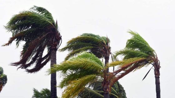
The cyclone is expected to bring gale-force winds of around 110km/h over Groote Eylandt on Saturday as it tracks towards the border.
Winds above 125km/h could intensify on Sunday and could compound the effects of heavy rainfall already expected in the top end over the weekend.
The heaviest falls are expected on coastal and island locations on Saturday, before reaching further inland into the Carpentaria district on Sunday.
“While it (the cyclone) is most likely to cross the coast on Monday it will be slow moving making both the timing of landfall and intensity at that time quite uncertain,” the BOM said.
The weather event will then weaken once it makes landfall and is likely to move west through the NT as a tropical low, bringing heavy winds and rain.
Ex-Tropical Cyclone Lincoln dumped heavy rain and winds over the region in February, triggering flood watches and warnings in northwest Queensland, the NT and northern WA before moving offshore.
Source Agencies


