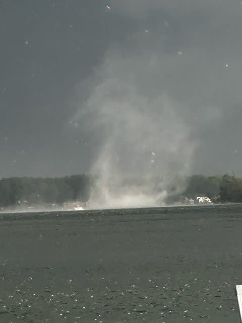
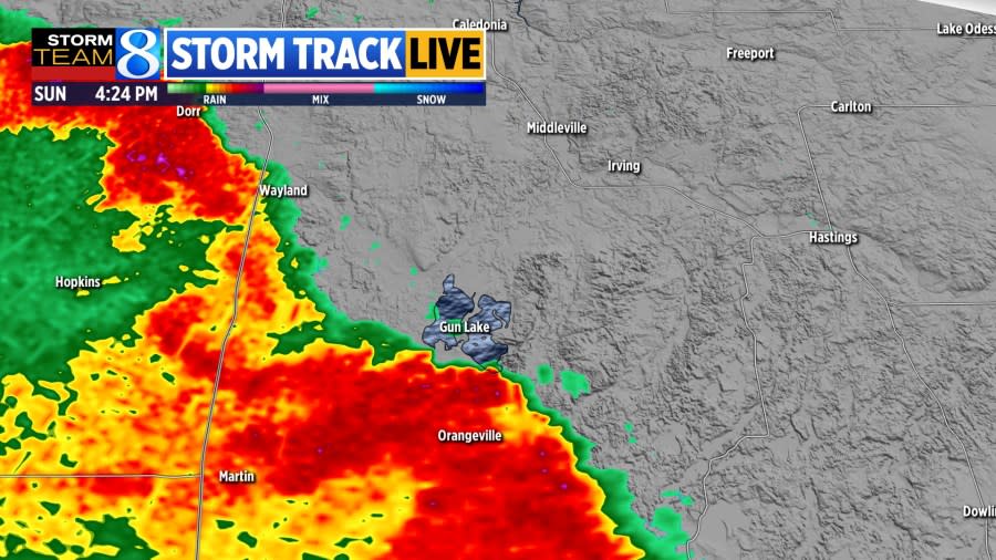
YANKEE SPRINGS TOWNSHIP, Mich. (WOOD) — A gustnado formed along the leading edge of a strong storm front Sunday evening, spinning up the waters over Gun Lake in Middleville, Michigan.
There was no reported damage from the gustnado, although there were reports of minor wind damage in Kent and Barry counties.
Watch video of the gustnado, captured by Cara Donovan Schulte, in the player above.
The gustnado was reported by Cara Donovan Schulte around 4:24 p.m. as the storm line was approaching Gun Lake in Middleville. The whirl formed before the leading edge of the storm hit. This is one of the indicators the whirl at the surface was a gustnado, and not a landspout or tornado.
Showers, storms roll in for Sunday and Memorial Day

What is a gustnado?
Gustnados can form on the leading edges of strong storms as cool, outflow air slams into the surface and creates tiny twists and eddies in the wind. Often, they do minor damage and are not connected to the clouds aloft. These small, surface circulations only occur when the wind is turbulent.
Not every whirl over water is considered to be a waterspout. Waterspouts often need very large bodies of water to form and always have a parent cloud to connect to aloft, unlike a gustnado, which spins up ahead of the storm line.
Inside woodtv.com: Storm Team 8 forecast
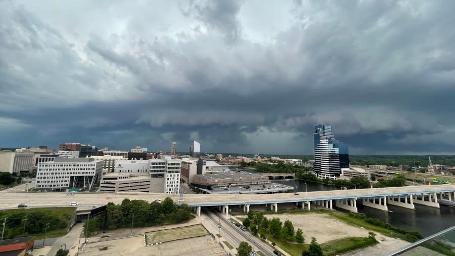

A severe thunderstorm did impact other communities in Kent and Barry counties Sunday evening. Rotation in Ada produced a potential funnel cloud. Large hail was reported in Barry County, and a few minor wind damage reports were made in Kent County.
Severe weather chances are low for the remainder of the holiday weekend.
Copyright 2024 Nexstar Media, Inc. All rights reserved. This material may not be published, broadcast, rewritten, or redistributed.
For the latest news, weather, sports, and streaming video, head to WOODTV.com.
Source Agencies

