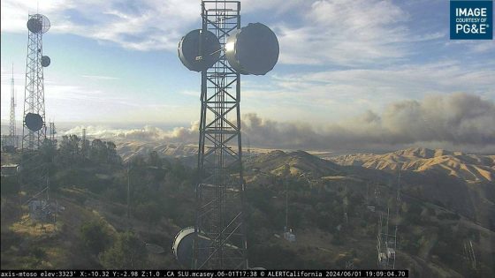
A wildfire that exploded to more than 10,000 acres Saturday burned several structures and leaped across a major freeway in California’s Central Valley, prompting evacuation orders to dozens of homes in the foothills and subdivisions southwest of Tracy.
The Corral Fire started around 3 p.m. along Corral Hollow Road in San Joaquin County, on land used by the Lawrence Livermore National Laboratory’s Site 300, a facility that helped develop explosives material and other ordnance. It was not clear what started the blaze.
As of 10:45 p.m., the wildfire had burned at least 10,000 acres of grass and other vegetation, according to Cal Fire’s Santa Clara unit, which said the fire was 13% contained after flames were stoked across lanes of Interstate 580, and more homes on the east side of the freeway were being ordered to escape. An aerial mapping plane operated by the Governor’s Office of Emergency Services said the burn area had reach 12,257 acres just after 4 a.m. Sunday.
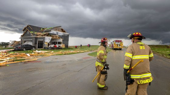
At least two firefighters were injured, Cal Fire officials told Fox40 and the San Francisco Chronicle. Video from the Chronicle and Santa Rosa Press-Democrat showed an abandon home and barn, as well as other structures and vehicles, ablaze.
Flames fueled by strong winds pushed the fire east, prompting the San Joaquin County Office of Emergency Services to issue mandatory evacuations for several zones before authorities said “areas West of the CA Aqueduct, South of Corral Hollow Creek, West to Alameda County and South to Stanislaus County should leave now.”
Interstate 580 was closed in both directions between Corral Hollow Road and the Westley rest stops at the junction with I-5, according to Caltrans District 10. The California Highway Patrol also shut down Highway 132 from I-580 to Highway 33. The roadways were expected to be closed into Sunday morning.
Winds at Altamont Pass at 10:45 p.m. were observed from the southwest at 38 mph with gusts to 48 mph. Winds at the San Joaquin-Stanislaus county line were gusting to 25 mph, according to sensor reading collected by the National Weather Service; its Sacramento office said winds in the area were expected to be sustained overnight around 40 mph.
Several aerial firefighting resources responded during daylight to the blaze after flames jumped a control line. Crews from the Alameda County Fire Department and South San Joaquin County Fire Authority are also at the scene, Cal Fire said. Tracy police and San Joaquin County sheriff’s deputies were assisting in the evacuations.
By 9 p.m., as daytime air tankers and other planes were being called off, crews reported over radio that some personnel were being dispatched for structure protection for a subdivision south of Vernalis Road, near the junction of I-580 and Highway 132, along Bernard Road. One firefighter, requesting more resources via radio traffic, said fire had reached one detached structure.
Fire officials say previous prescribed burns to the west initially helped to slow the spread, but the fire made a hard run east against Interstate 580 on a portion of major freeway connecting I-5 to Altamont Pass and onto the Bay Area. Cal Fire officials said that no prescribed fire plans were active on Saturday.
An evacuation shelter has been opened at the Larch Clover Community Center, 11157 W. Larch Road, in Tracy. County officials said a large animal shelter was being opened at the Manteca Education & Training Center, 2271 W. Louise Ave., Manteca.
The cause of the fire is under investigation.
Source Agencies