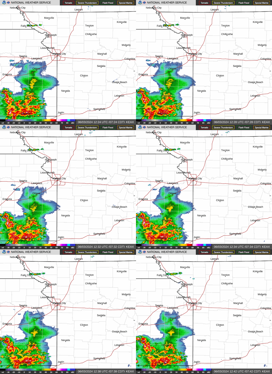
A cold front is expected to push through the Kansas City area Tuesday, igniting severe thunderstorms capable of creating large hail, damaging winds and the threat of tornadoes, according to the National Weather Service.
Before the severe weather hits, isolated to scattered showers could develop in the morning as an upper-level disturbance over west central Missouri meanders to the east and northeast, the weather service said in its forecast discussion. If any storms develop, they are not expected to be strong or severe.
As that disturbance moves away, skies are expected to become partly sunny, allowing temperatures to rise into the mid-80s and helping set the stage for severe weather.
The main severe weather threat will arrive in the evening. The weather service said that thunderstorms are expected to fire up along a cold front in eastern and southeastern Nebraska in the afternoon and move southeastward through the evening as the cold front pushes through the area.
These storms have the potential to become severe, with hail up to 1.5 inches in diameter and damaging winds exceeding 58 mph. An isolated tornado can’t be ruled out. The weather service said there is a 2-4% chance of a tornado occurring within 25 miles of a point.
“Overall coverage of storms looks to be scattered to widespread but not necessarily a solid line as they’re moving southeastward through area,” the weather service said in its forecast discussion. There could be clusters of thunderstorms, some of which have supercell characteristics.
The storms are expected to move into northwestern Missouri between 4 and 7 p.m. and arrive in the Kansas City area between 7 and 10 p.m., according to weather service. They will continue south of Kansas City between 10 p.m. and 1 a.m.

Dry, less humid weather coming
Once the storms move out of the area, drier weather will move in.
Sunny skies are expected for the remainder of the work week, and temperatures will be in the low to mid-80s, which is normal. The temperature in Kansas City typically is 82 degrees this time of year.
The weather pattern that is setting up for the rest of the week is notorious for initiating storms that often track further than initially forecast. The weather service said the forecast will need to be monitored for storms that could impact the Kansas City region.
The next chance for precipitation in the forecast will come Saturday into Sunday.
A live data feed from the National Weather Service containing official weather warnings, watches, and advisory statements. Tap warning areas for more details. Sources: NOAA, National Weather Service, NOAA GeoPlatform and Esri.
Source Agencies


