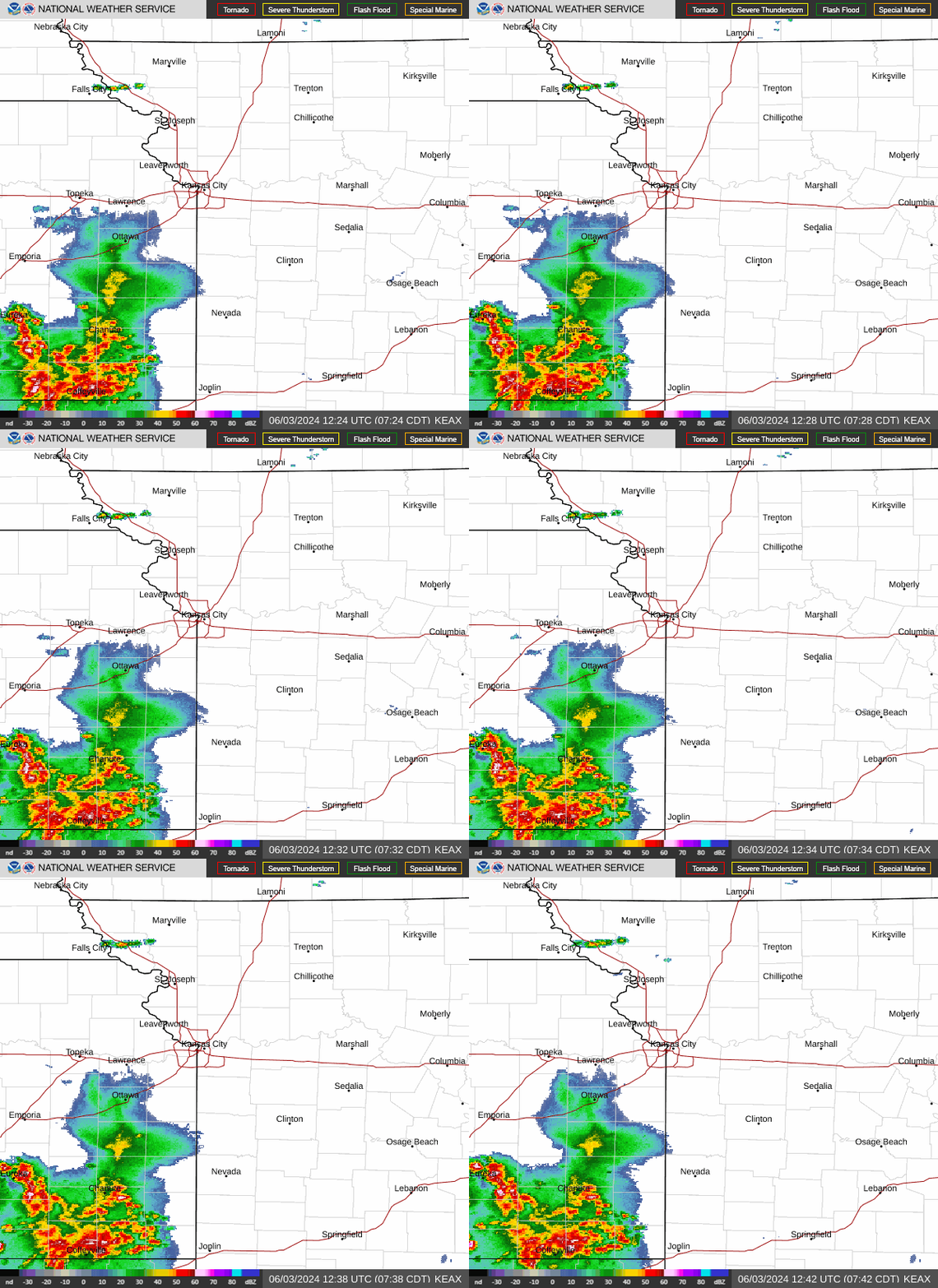
The Kansas City area could get a good soaking as rounds of showers and thunderstorms are expected to roll across the region this weekend, according to the National Weather Service.
Storms will sweep into the area Friday night, bringing the threat of heavy rains, strong straight-line winds and hail.
But before the deluge arrives, the metro may experience its warmest day of the year, with temperatures expected to reach 90 degrees.
Kansas City’s first 90-degree day of the year typically arrives around around May 27, according to climate data. The warmest it’s been so far is 86 degrees, which happened on May 18 and 19.
That doesn’t mean Kansas City has had a cool start to the year. According to climate data, the average temperature this year is 49.3 degrees, making it the 10th warmest in Kansas City’s history.
A quiet morning with clear skies and seasonably low dew points in the 40s and 50s degrees will make for a pleasant Friday. However, according to the weather service, the weather will begin to change in the afternoon and evening as moisture gradually builds back into the forecast area.
The air will become more humid as dew points rise into the lower to middle 60s across eastern and western Missouri by sunset, the weather service said.
Some isolated storms could pop up in the afternoon
Overnight rains likely in NW Missouri
A complex of showers and thunderstorms is expected to develop over Nebraska and move southeast towards Missouri. As the storms march south, they are expected to strengthen and form a line.
While the threat of large hail and tornadoes is low, localized damage by strong, straight-line winds is the primary concern, mainly across far northwestern Missouri and northeastern Kansas. The threat of severe weather is relatively low in areas to the south and east.
Moderate to heavy rainfall is expected overnight. Most areas will see between a half to an inch of rain. However, some areas could see as much as two inches of rain. The threat of flash flooding is low, the weather service said.
The storms will likely move into northeast Kansas and northwest Missouri between 9 and 11 p.m. According to the weather service, they will arrive in Kansas City between 11 p.m. and 1 a.m. Areas south and east of the immediate metro area can expect the storms to arrive between 1 and 5 a.m.

KC weather forecast: Lull before next round of storms
Quieter weather is expected Saturday morning as sunny skies return. Temperatures will climb into the mid-80s.
The weather will change in the afternoon as the atmosphere becomes more unstable, setting the stage for another round of thunderstorms and heavy rains, the weather service said.
“A few supercell storms may develop near the Interstate 70 corridor over central Missouri during the evening hours, with all hazards possible with these storms,” the weather service said in its forecast discussion.
A corridor of heavy rainfall is possible over the southern part of the Kansas City forecast area. Depending upon Friday night’s rainfall, localized flash flooding and river flooding could be possible.
With thunderstorms and flooding possible this weekend, the National Weather Service in Springfield advises those headed outdoors to areas like the Lake of the Ozarks for floating, boating or camping to consider weather safety.
Showers and thunderstorms could continue into Sunday morning. Cloudy skies will gradually become sunny, allowing temperatures to climb into the upper 70s. Typically, Kansas City temperatures are 82 degrees this time of year.
A live data feed from the National Weather Service containing official weather warnings, watches, and advisory statements. Tap warning areas for more details. Sources: NOAA, National Weather Service, NOAA GeoPlatform and Esri.
Source Agencies


