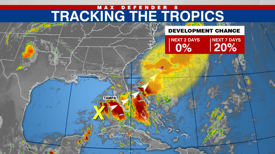
TAMPA, Fla. (WFLA) — The National Hurricane Center is monitoring the first tropical disturbance of the Atlantic hurricane season.
The NHC said a trough of low pressure over the Gulf of Mexico is producing a large area of disorganized showers and thunderstorms.
The system is expected to move across Florida over the next day or so.
Max Defender 8 meteorologist Amanda Holly said the system will bring increased rain chances to the Tampa Bay area. Sarasota and Manatee counties will see the most rain.

The NHC said it’s unlikely for the system to develop because environmental conditions are expected to be generally unfavorable. However, some slow development is possible once the system is offshore of the Southeast coast.
“Regardless of development, heavy rainfall is expected across portions of Florida
during the next few days,” the NHC said.
The system has a 20 percent chance of developing over the next seven days.
Copyright 2024 Nexstar Media, Inc. All rights reserved. This material may not be published, broadcast, rewritten, or redistributed.
For the latest news, weather, sports, and streaming video, head to WFLA.
Source Agencies


