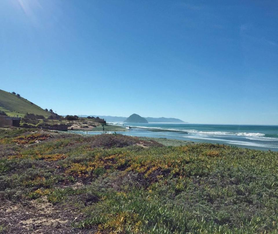
A bike path that would fill a gap in the 1,200-mile California Coastal Trail and connect two San Luis Obispo beach towns along Highway 1 has been approved.
On Thursday, the California Coastal Commission voted 8-2 to approve a coastal development permit that allows the county to take steps to build the trail between Morro Bay and Cayucos despite opposition from nearby homeowners.
The 1.25-mile-long trail would run parallel to Highway 1 from Yerba Buena Street in Morro Bay to Studio Drive in Cayucos — filling a gap in the popular California Coastal Trail.
Currently, cyclists, runners and hikers are forced to travel along the highway.
The paved trail would keep users off the highway and protect them from high-speed vehicle traffic.
Cayucos Citizens Advisory Council member Rachel Wilson enthusiastically supported the project Thursday. She said the trail will allow Morro Bay High School students to safely bike to school and residents to bike to and from their homes and activities in the community.
“I personally cannot get to town — it’s 2 miles for me — without driving, and I have a bike I love to ride,” she said.
Wilson said she looks forward to using the trail when it is built.
The county will start construction within two years, San Luis Obispo County Parks planner Elizabeth Kavanaugh said.

What does the trail look like?
The 1.25-mile trail would start near the site of the future Norma Rose Park on the east side of Highway 1 in Cayucos, then meander south parallel to Highway 1.
The trail eventually would reach Morro Bay and turn toward the ocean at Yerba Buena Street before continuing south along Beachcomber Drive. The final link runs along Sandalwood Avenue to the Cloisters Park parking area.
The 12-foot-wide trail includes multiple access points to the shore, public trail connections and bridges, the staff report said.
A retaining wall would protect a narrow portion of the trail.
Meanwhile, the county must complete 9 acres of dune habitat restoration to mitigate the environmental impacts of the trail, according to the report.


Morro Bay homeowners opposed the trail
The trail will also run along a residential roadway called Toro Lane — a short, ocean-front street that runs north from Yerba Buena Street, dead-ending at the North Point Natural Area.
Ten residents living in the Toro Lane neighborhood opposed the trail, worried that running the trail on their narrow private road would decrease safety and disrupt the peace of the area.
The residents, who are members of the North Point Morro Bay Homeowners Association, sued the city of Morro Bay and the county over the proposed trail design, alleging that they violated public easement agreements.
However, the easement on the private road authorizes the county and the city to pursue projects that allow the public to access the shoreline, according to Commission staff. The trail enhances public access to the shore and therefore complies with the conditions of the easement, the staff report said.
The Toro Lane residents asked the county to move the trail to the narrow land strip between Toro Lane and Highway 1, but this part of the road would expose trail users to more high-speed traffic, endangering their safety.
To protect the safety of trail users, staff advised the Commission to stick to the original trail design.
Source Agencies

