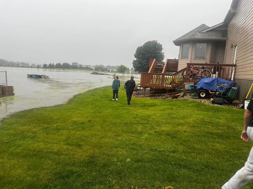
Southeastern South Dakota should prepare to see another round of heavy rain Friday night and into Saturday, with some areas predicted to see another 2 to 5 inches of rain on top of what’s already fallen.
The last time something of this magnitude was seen, with multi-hour flash flood warnings, was in 2019 when there were multiple rounds of heavy rain and the ground was saturated and “couldn’t handle it anymore,” National Weather Service director Todd Heitkamp said.
Heitkamp said there are too many flash flood warnings to name at this time, and that anyone living in an area not in a flood warning, should consider themselves in a flood watch as the heaviest rain will come after 5 p.m. Friday night.

The most impacted areas will be south of Interstate 90 and east of Highway 81 in South Dakota, Heitkamp said.
“Whatever rain we get, no matter what amounts, it’s going to add to the problems that already exist and make matters worse,” Heitkamp said. “The main thing that people need to remember is just to stay abreast of the weather conditions and be prepared to take action if your area begins to flood.”
Heitkamp said if you don’t have to travel, especially in areas like Lincoln County and others with a lot of water, don’t travel.
This article originally appeared on Sioux Falls Argus Leader: South Dakota floods: NWS director urges no travel in Lincoln County
Source Agencies


