An unseasonably early hurricane is gathering strength as it bears down on the Caribbean, stoking fears it could cause nine-foot waves and catastrophic damage.
Hurricane Beryl is on the cusp of becoming the earliest Category Four – the second highest group – storm in history as it reaches wind speeds of 120mph and possibly exceeds them over the next 24 hours.
Hurricane warnings have already been issued for Barbados, St. Lucia, St. Vincent and the Grenadines, Grenada and the island of Tobago.
Martinique, the beloved private getaway among the rich and famous, is under a tropical storm warning, while Dominica and Trinidad are under a tropical storm watch.

“Potentially catastrophic wind damage is expected where the eyewall of Beryl moves through portions of the Windward Islands, with the highest risk of the core in St. Vincent and the Grenadines, and Grenada,” the US National Hurricane Centre warned.
“Beryl is expected to rapidly strengthen and be a major hurricane when it reaches the Windward Islands late Sunday night or Monday, bringing destructive hurricane-force winds and life-threatening storm surge,” it added.
Forecasters have predicted waves could be nine feet high when Beryl makes landfall.
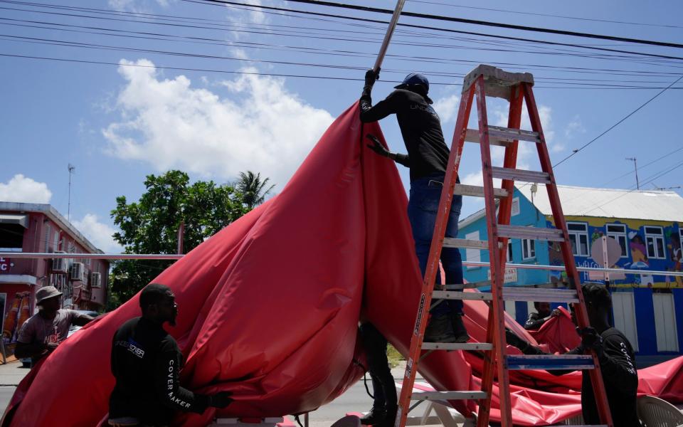
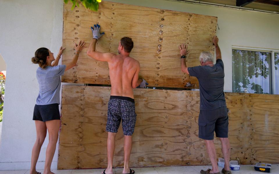
Long queues have already been forming at filling stations and grocery stores as people living in the region batten down the hatches ahead of Beryl.
“Please take this very seriously and prepare yourselves,” said Ralph Gonsalves, the prime minister of St. Vincent and the Grenadines. “This is a terrible hurricane.”
The timing of the first major hurricane is ringing alarm bells among hurricane experts.
It is unusual for hurricanes to form in this part of the Atlantic so early in the year because ocean temperatures are not warm enough to trigger activity.
But rising sea temperatures have brought the hurricane season forward.


“Beryl has found an environment with very warm ocean waters for this time of year,” Dr. Mike Brennan, director of the National Oceanic and Atmospheric Administration’s National Hurricane Center, told CNN.
“These are ocean waters you’d normally see like in August or September, but now we’re seeing them in late June,” he added.
“It’s kind of opening up more of the deep tropical Atlantic for formation before we get to what would be the traditional peak of the hurricane season.”
Phil Klotzbach, a hurricane expert and research scientist at Colorado State University said that this was evidence that 2024 will have a hyperactive hurricane season.
Source Agencies
