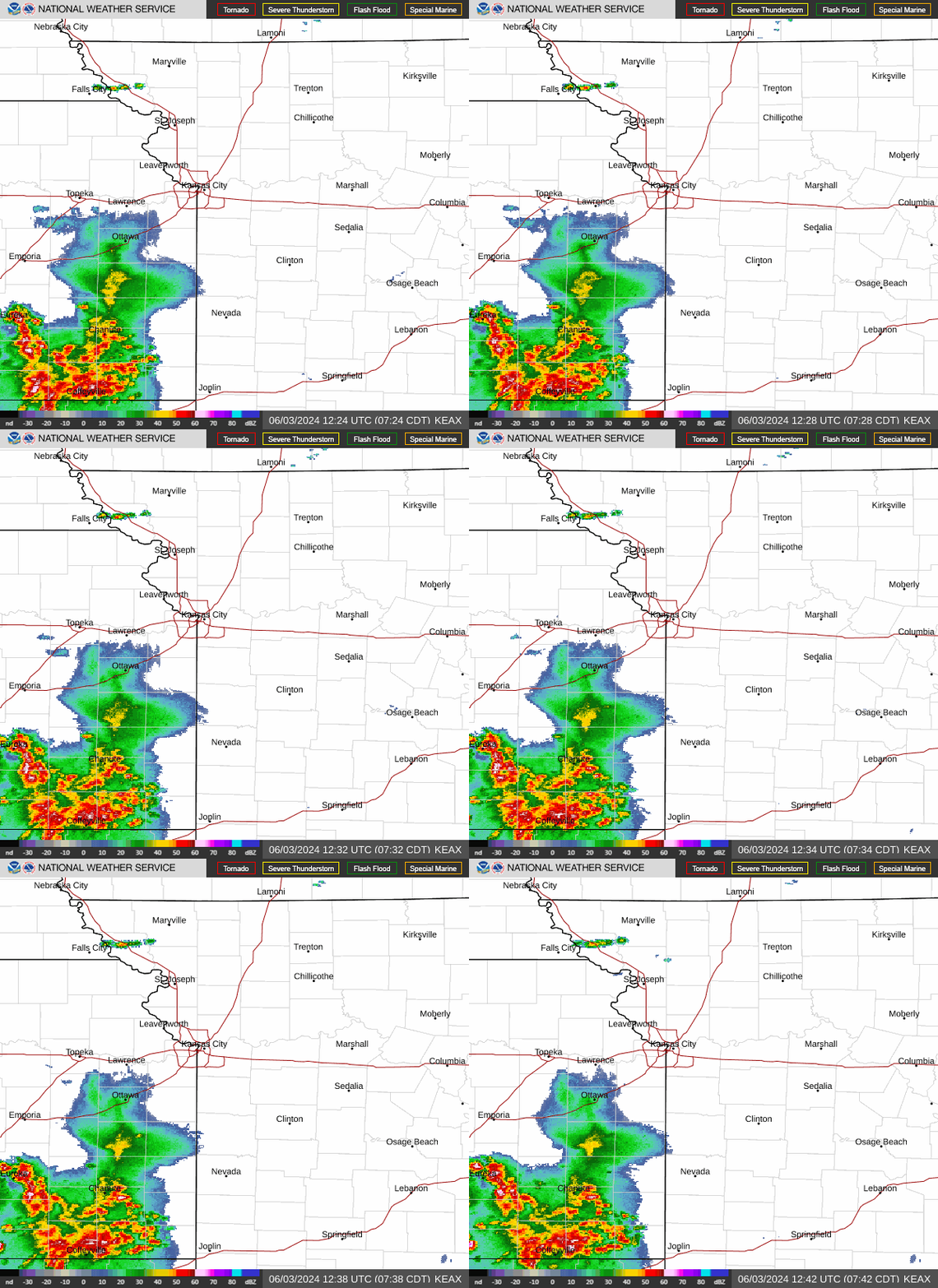
July will get off to a hot and stormy start as showers and thunderstorms will roll through the Kansas City area Monday, according to the National Weather Service.
The weather service said the storms’ movement into the area is not expected to produce any severe weather, although heavy rainfall is possible from some of them. The showers and thunderstorms are expected to clear by early afternoon.
Temperatures are expected to be in the low 80s, slightly cooler than usual. Kansas City typically sees temperatures in the upper 80s this time of year.
A surge of heat and humidity will push into the area on Tuesday, sending temperatures soaring into the low to mid-90s. With increased moisture in the air, dew point temperatures will reach the low to mid-70s. The heat becomes oppressive when dew point temperatures rise above 65 degrees in the summertime.
With the heat index ranging from 105 to 111 degrees, the weather service warns these conditions may warrant a heat advisory.

Strong, severe storms possible later in the week
The hot and humid weather is expected to set the stage for potentially severe weather. Showers and thunderstorms are expected to develop along a cold front Tuesday afternoon and linger into Wednesday morning. Some strong to severe thunderstorms are possible.
The main threat from the stronger storms is damaging straight-line winds. The strongest storms will be capable of producing large hail and an isolated tornado or two, the weather service said.
Northeast Kansas and northern Missouri are more likely to see stronger storms. The weather service’s Storm Prediction Center has placed the area, which includes St. Joseph, Kirksville and Maryville, under an enhanced risk of severe weather.
Meanwhile, the Kansas City metro is under a slight risk of severe storms.
July 4 holiday forecast
Multiple chances for rain will occur during the second half of the week, including the July 4 holiday. Temperatures will hover in the mid to upper 80s.
A live data feed from the National Weather Service containing official weather warnings, watches, and advisory statements. Tap warning areas for more details. Sources: NOAA, National Weather Service, NOAA GeoPlatform and Esri.
Source Agencies


