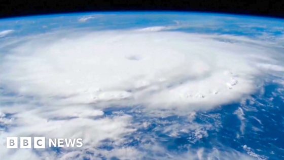
As images from a NASA reveal the size of Hurricane Beryl that has struck the Caribbean, footage released by the National Oceanic and Atmospheric Administration (NOAA) shows its aircraft flying into the eye of the storm to gather data for forecasters.
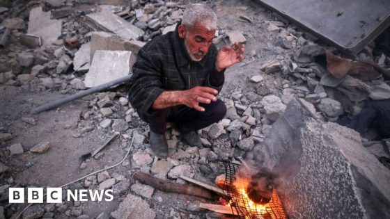
Thousands of people remain without power or are living in temporary shelters in St Vincent and the Grenadines, Grenada and St Lucia. At least one person has been killed and other islands in the region have also suffered damage.
The hurricane has been upgraded to a Category 5 and is moving west towards Jamaica. It is expected to hit south-east Mexico by the end of the week.
Source Agencies


