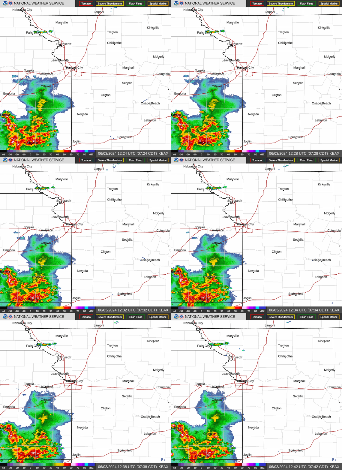
Showers and thunderstorms are expected across the Kansas City area Thursday as dangerously hot temperatures and high humidity build for the weekend.
A few lingering storms dumped rain across parts of the metro at the beginning of Thursday’s morning rush hour. The storms are expected to clear out, allowing skies to become mostly sunny, according to the National Weather Service.
Temperatures are expected to climb to around 90 degrees, a few degrees warmer than usual. Typically, Kansas City sees temperatures of 88 degrees this time of year.
The weather service warned that the Kansas City area could see “multiple showers and storms through the end of the week,” popping up during the day or night. People will want to watch the sky and keep an umbrella handy.
The weather service said isolated thunderstorms are expected in the afternoon on Thursday and will likely linger in the area overnight.
“A few strong to severe storms are possible with gusty winds the main hazard, primarily this afternoon and evening,” the weather service said.
Northern Missouri, including the St. Joseph area and locations to the north, is more likely to see the strongest storms. Winds up to 60 mph and quarter-sized hail will be possible.
On Friday, isolated thunderstorms will be possible again during the afternoon and evening. Temperatures are expected to be warming, climbing to the mid-90s.

Dangerously hot, humid weekend in KC
Headed into the weekend, the focus will be on the sweltering heat.
“Heat and humidity will noticeably increase this weekend into early next week,” the weather service said.
Temperatures are expected to soar close to 100 degrees on Sunday and Monday and there’s a “30-40% chance of high temperatures in excess of 100 degrees across eastern Kansas and western Missouri on Monday. This would include the KC area.”
When the humidity is factored in, the heat index will be 100 to 105 degrees. On Monday, it may approach 110 degrees.
This heat is dangerous because it won’t just be hot during the day. The nights will offer little relief, especially in the heart of Kansas City. There’s a chance that overnight lows could stay above 80 degrees in some areas early next week.
When temperatures don’t drop below 80 degrees, people without air conditioning cannot recover from the daytime heat. Over time, this can lead to heat illnesses like heat exhaustion and heat stroke. Older people, children and people with chronic health issues are at greater risk.
If Kansas City reaches 100 degrees on Monday, it will be the first time that temperatures have been that high this year. The hottest it has been this year is 98 degrees, which occurred on June 24,
According to weather data, Kansas City typically doesn’t see its first 100-degree day until July 19. The earliest it has been that hot was May 30, 1934.
Intense heat to be short-lived
“This round of excessive heat looks short-lived,” the weather service said.
Temperatures are expected to retreat to the low 90s on Wednesday and fall into the mid-80s on Thursday.
“The trade-off to that is that the (weather) pattern looks more active with multiple rounds of storms possible,” the weather service said.
A live data feed from the National Weather Service containing official weather warnings, watches, and advisory statements. Tap warning areas for more details. Sources: NOAA, National Weather Service, NOAA GeoPlatform and Esri.
Source Agencies


