Wednesday evening and night, Vermont was pounded by heavy rains, totaling up to 6 inches throughout the state and 1.85 inches in the Burlington area, according to the National Weather Service. More rain is expected throughout Thursday, albeit at a lesser rate.
The downpour has led to road and bridge closures, evacuations and flooding, specifically along the Winooski River. Burlington Mayor Emma Mulvaney-Stanak made a call-to-action post on her Instagram story Thursday morning asking for help bringing crops in from the Intervale Center, located in a low plain near the river that is expected to be washed out by flooding.
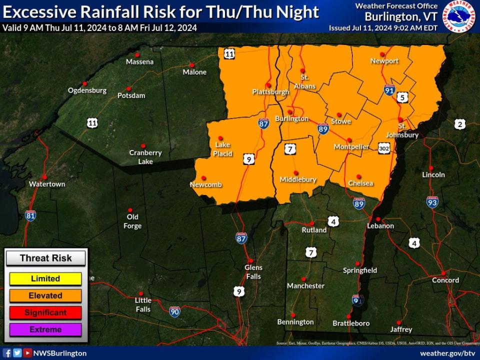
An official areal flood warning was issued around 4:30 p.m. Wednesday, July 10, and continued into early morning Thursday. A few hours later, warnings to stay alert of flash floods was also issued.
This rain comes a year after the catastrophic summer 2023 flooding throughout Vermont, serving as an uneasy reminder of fragility of Vermont’s waterways. The Weather Service emphasized that this storm will not be like last July’s flooding event but will still pose real dangers where flash flooding occurs.
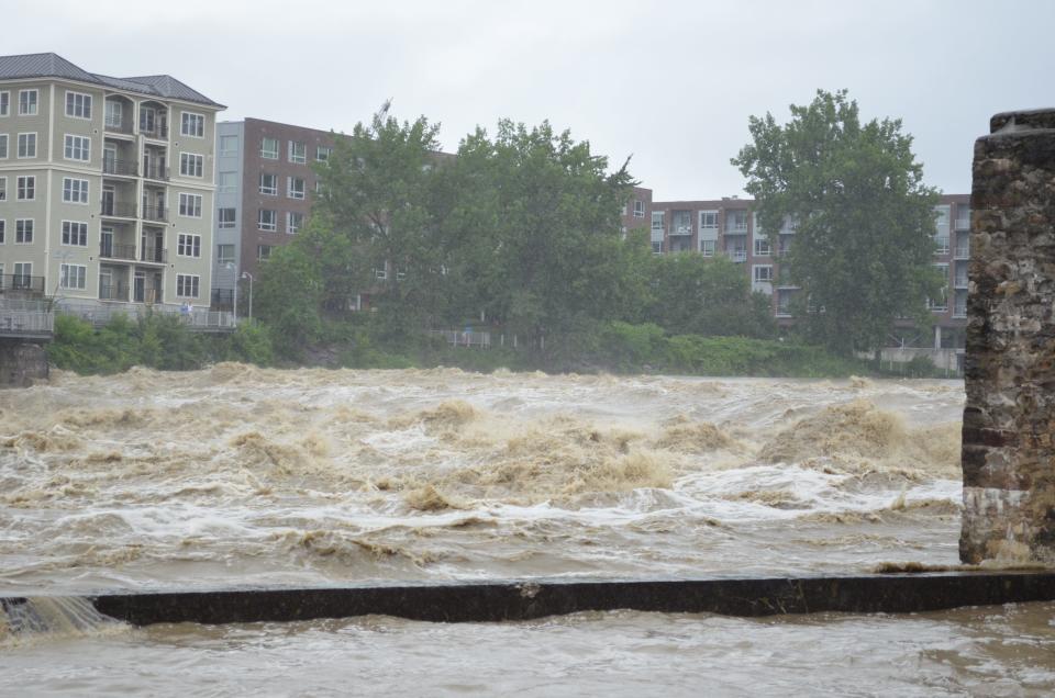

The impact so far
The storm comes in the wake of Hurricane Beryl, which made landfall in Texas before working its way northeast to slingshot the remnants of rain into Vermont. While all counties in the state are feeling the weather affects, central Vermont was hit with the heaviest rain, from Addison County and southern Chittenden County in the west to Caledonia County in the east. Cities like Barre, Moretown, Williamstown and Plainfield have reported severe flooding.
Barre Mayor Thom Lauzon declared a state of emergency around 9:30 p.m. Wednesday after officials rescued a dozen people from flooded houses and cars. Williamstown, Groton and St. Johnsbury ordered evacuations as well. Two shelters are currently open for those displaced:
-
Barre Auditorium, 16 Auditorium Hill, Barre.
-
Williamstown Middle/High School, 120 Hebert Road, Williamstown.
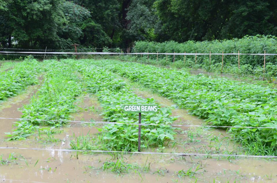

The Vermont Department of Public Safety said to avoid areas of flooding; if floodwaters approach your location, leave immediately over high ground. Respect all road detours and never walk or drive through floodwaters.
Road closures can be found here.
According to a Thursday morning statement from the DPS, “damage from Wednesday’s flash floods is extensive, with significant damage in central Vermont and counties east and west. Damage assessments have begun and will likely take some time.”
Many rivers are still at flood stage and will be until later Thursday, so everyone should remain vigilant and stay away from floodwaters.
Vermont’s Urban Search and Rescue teams and the Vermont National Guard are in the field assisting communities with rescues and evacuations. Additional swift water rescue assets are being brought in from out of state.
Rivers and streams are running high and fast, with debris running through them. For the foreseeable future, they will be unsafe for swimming and other recreation.
The extent of the damage to roads, buildings and property is yet to be determined.
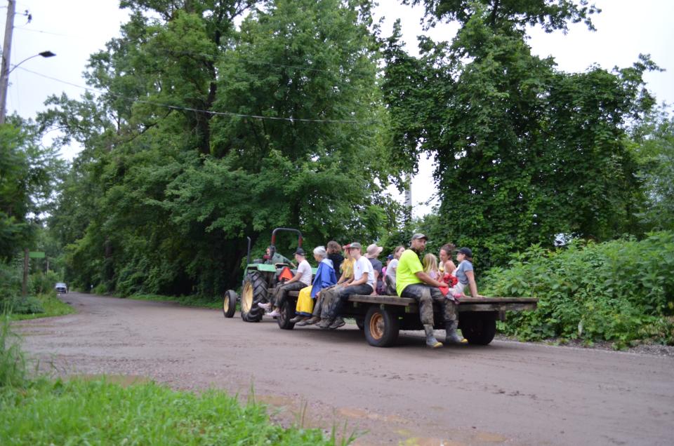

In a press conference July 11, Governor Phil Scott said the response is ongoing. He advised anyone facing damages from the storms to report it to Vermont 211 to qualify for federal assistance.
This story may be updated.
Sydney P. Hakes is the Burlington city reporter. Contact her at [email protected].
This article originally appeared on Burlington Free Press: Road closures, evacuations and flooding litter Vermont after Wednesday rain
Source Agencies


