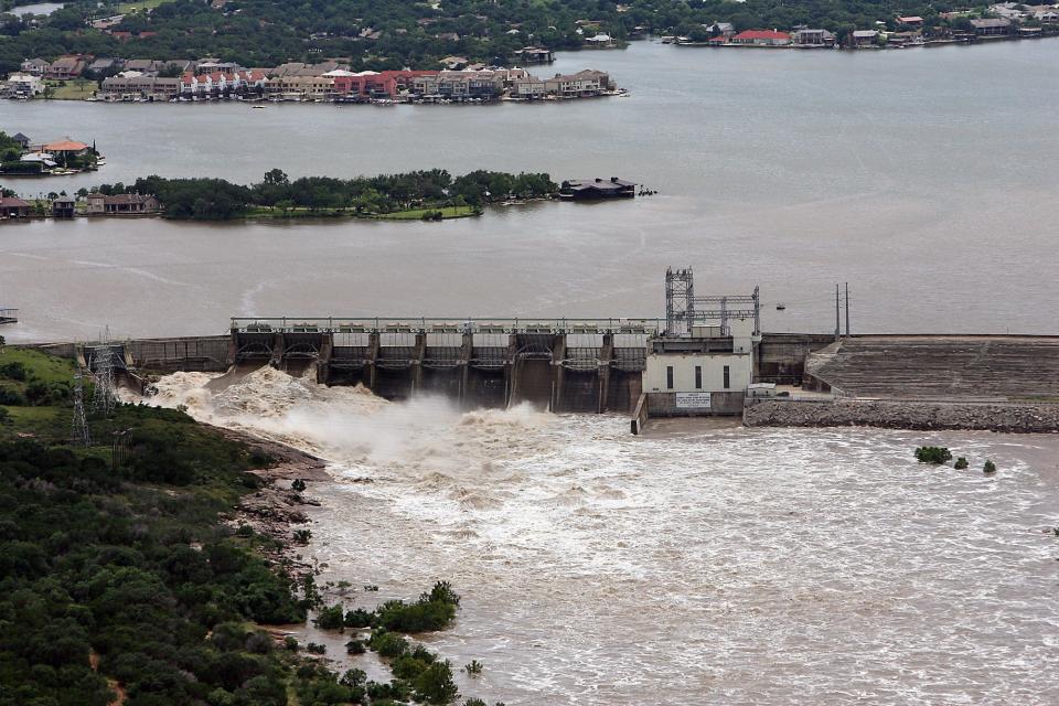
River authorities opened floodgates at Wirtz Dam and Starcke Dam early Wednesday morning to move storm runoff downstream into Lake Travis.
The runoff is filling Lake Lyndon B. Johnson from the Llano River, which is currently in the flood stage in the city of Llano.
With thunderstorms already showering Austin and possible every day this week, the Lower Colorado River Authority is pushing water through two floodgates at Wirtz Dam and three at Starcke Dam. The storm runoff flows into Lake LBJ from the Llano River, which feeds the lake on the northwest bank.
Due to the open floodgates, flows are faster and water levels are higher than usual downstream of the dams. The LCRA did not immediately respond when asked Wednesday when Lake Travis was most recently full.
Is Lake Travis in a drought?
In the wake of May showers, lake levels rose and the LCRA brought drought response down to Stage 1. The water in Austin reservoirs are rising, but conservation is still necessary.
Under Stage 1, the LCRA requests customers to reduce water use by 10% and asks city, utility and industrial users to implement mandatory restrictions to curtail water use.
How do today’s levels compare to a year ago?
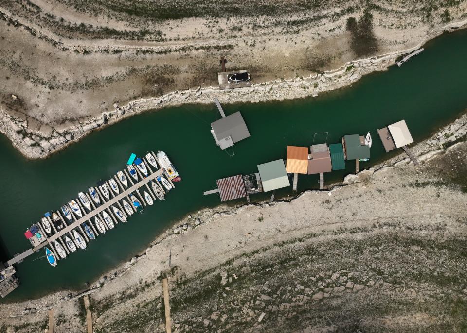
As of Wednesday, Lake Travis is at 41.1% capacity, only about 1 percentage point higher than July 24, 2023. The levels are rising, though. In January, Lake Travis was 37.7% full.
The lake is considered full at 681 feet above mean sea level.
When was Lake Travis at its lowest?
Historically, the lake was lowest on Aug. 14, 1951, when the level was at 614.18 feet above mean sea level. The lowest the lake has been in the past year was on Oct. 25, 2023, at 626.93 feet above mean sea level, which ranks as the fifth-lowest level date in history.
What was the historic high?
On Dec. 25, 1991, Lake Travis hit 710.44 feet above mean sea level. More recently, in October 2018, the lake had the fifth-highest level in history at 704.39 feet above mean sea level.
How can I monitor Austin water levels?
Those interested can visit the LCRA’s website, hydromet.lcra.org/floodstatus, to view up-to-date lake levels at the dams and to monitor gate operations.
This article originally appeared on Austin American-Statesman: Floodgates open to distribute runoff water into Lake Travis from LBJ
Source Agencies