(This story has been updated to add new information.)
Helene formed into a Category 1 hurricane Wednesday morning and is expected to bring life-threatening storm surge, damaging winds potentially up to 125 mph and widespread rain to a large portion of Florida and the southeastern United States before it strikes the coast as a major hurricane, according to the latest advisory from the National Hurricane Center.
Hurricane watches and warnings have been issued across Florida as Helene continues to strengthen.
➤ Spaghetti models for Hurricane Helene
➤ Weather alerts via text: Sign up to get updates about current storms and weather events by location
Spaghetti models for Hurricane Helene
Special note about spaghetti models: Illustrations include an array of forecast tools and models, and not all are created equal. The hurricane center uses only the top four or five highest performing models to help make its forecasts.
➤ Spaghetti models for Hurricane Helene
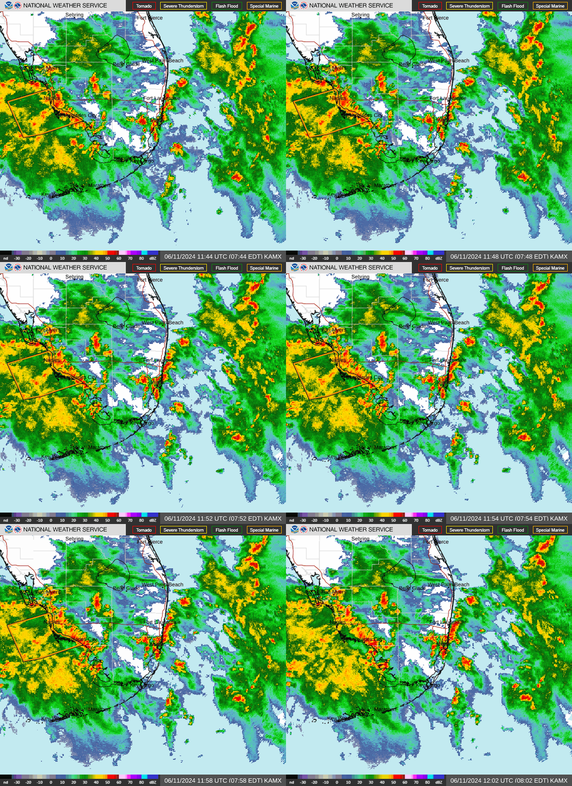
Radar images of Hurricane Helene

Hurricane Helene: What you need to know
https://www.nhc.noaa.gov/storm_graphics/AT09/refresh/AL092024_5day_expCone+png/094028_5day_expCone.png
Could Naples, Florida, feel impacts from tropical system?
See the latest forecast from National Weather Service Tampa Bay.
Weather radar for Naples, Florida


➤ Follow the National Weather Service Tampa Bay on X, formerly known as Twitter
Excessive rainfall forecast for Naples, Collier county
Watches, warnings issued across Florida
Track power outages across Naples, Florida
Stay informed. Get weather alerts via text
What’s next?
We will continue to update our tropical weather coverage daily. Download your local site’s app to ensure you’re always connected to the news. And look for our special subscription offers here.
This article originally appeared on Naples Daily News: Spaghetti models, radar for Hurricane Helene. Naples impacts
Source Agencies
